TRAIL WILL BE CLOSING FOR THE SEASON ON DEC 1st.
We do not fully plow our driveway since part of our winter program involves sledding on parts of our driveway. If there happens to be any incidents hiking, the town sands our road to get the ambulance up to the hiker parking lot and that ruins our winter programs because of the salt continually melting our snow. Our staff and board after one ruined winter season, made the decision to close our trail in the winter months. We are sorry for the inconvenience. The trail then opens back up after mud season when the driveway clears (typically in April).
HIKING INFO:
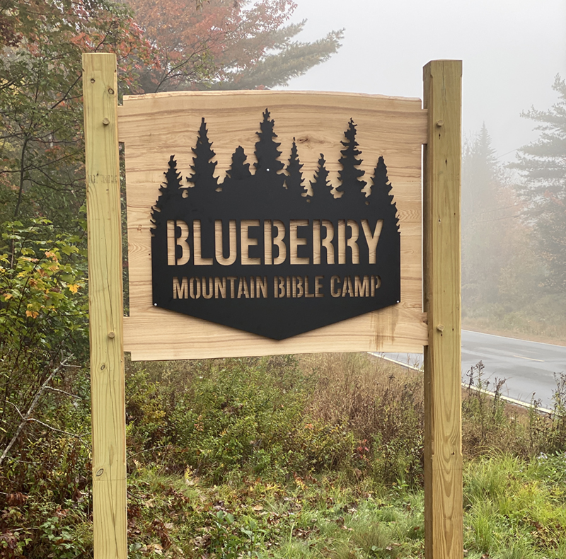
Please stick to the marked trail. This trail runs through private property belonging to our children's camp. We ask that you help us keep our campers secure by staying off the campus. If you are interested in a tour, please call the office at 207-585-2410.
No overnight hiking, parking, or camping.
Pets are allowed but you are in charge of picking up after them in the parking lot and on the trail. (baggies are not provided)
Pack in, pack out. Please do not leave trash on trail or in parking lot.
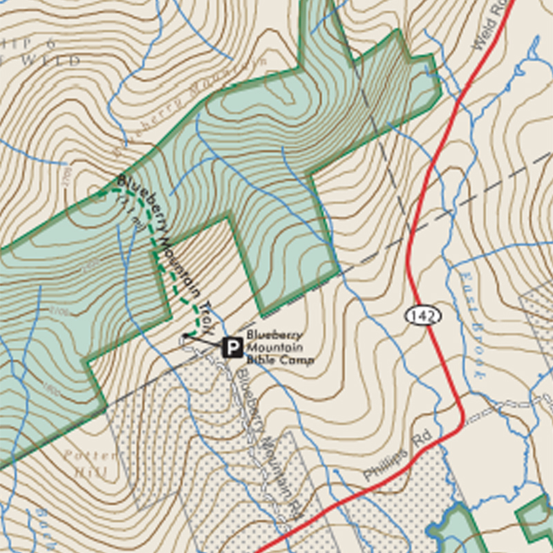
Parking is located about 1.8 miles up the camp driveway on the left. If you have made it all the way to the lodge, we ask that you backtrack to the hiker parking lot. The lodge has year-round residents and this is their private drive and parking.
This trail is not maintained by the state, but by volunteers. Please help us keep it clean.
Length: 1.20 miles, One Way
Difficulty: Advanced
Description:
At 2890 feet in elevation, Blueberry Mountain is one of the lesser known and hiked trails in the Weld region. However, the summit offers some of the best views of the Maine High Peaks Region. On a clear day hikers can see the nearby peaks of Jackson, Tumbledown, Bald, and Mt. Blue, as well as more distant peaks including, Saddleback, Spaulding, Mt. Abram, North and South Crocker, Sugarloaf, and on very clear days the Bigelow Mountains Range and Mt. Washington in New Hampshire.
Dark blue paint blazes on rocks and trees mark the way, and even though these are spaced at long intervals, the trail is clearly trodden from years of use, and it is not hard to locate.
Once above tree line, follow the cairns (rock piles) to the summit which is recognized by its large cairn, geological survey marker, and spectacular views.
(Description provided by Maine Trail Finder)